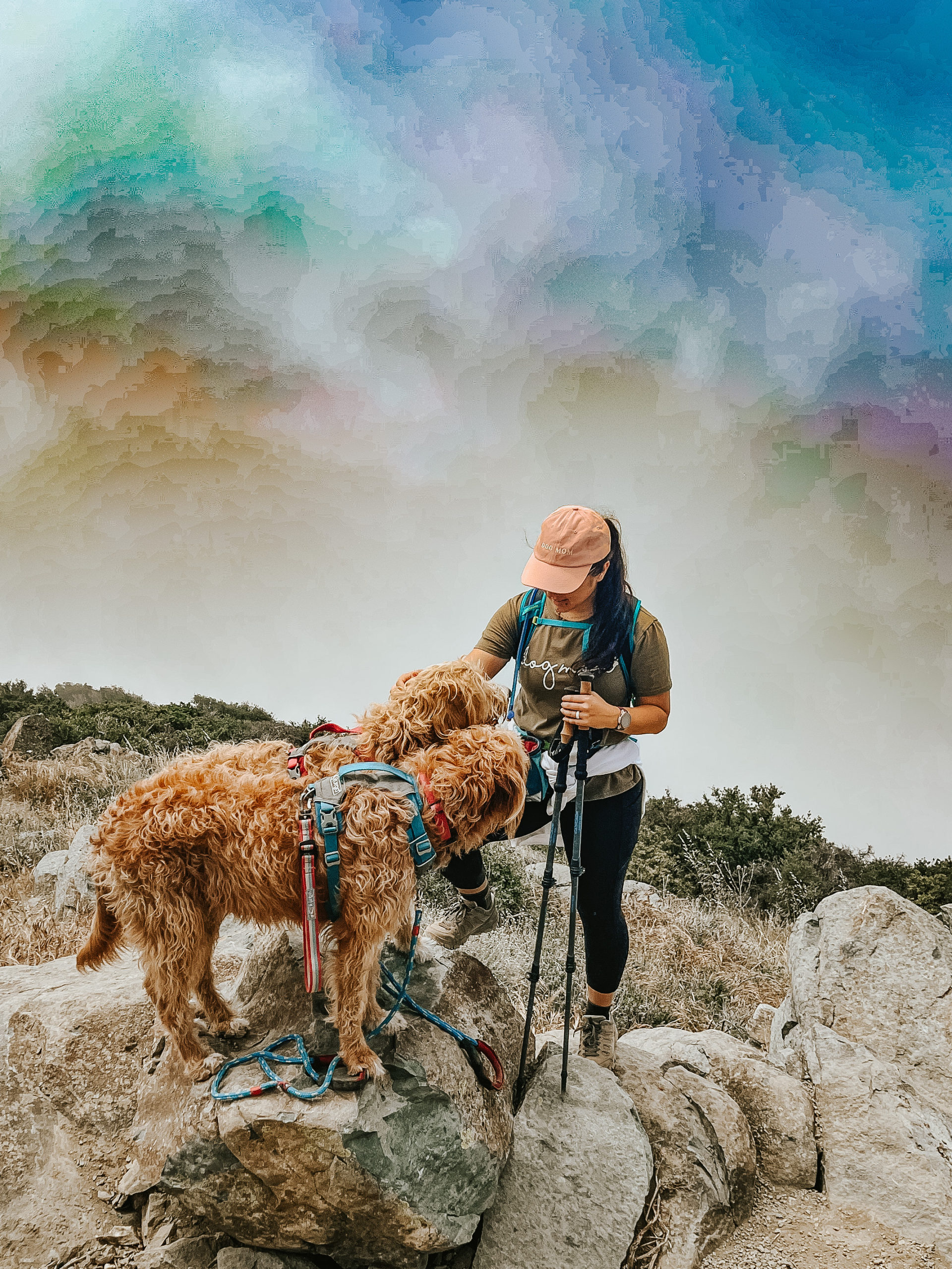
Santiago Peak via Maple Springs is a moderate, dog-friendly, 7.5-9.5 mile out-and-back trail with approximately 1,650 feet of climbing.

Santiago Peak is the highest point in Orange County and Santa Ana mountains at 5,689 feet. Typically hikers will approach this peak via the scenic Holy Jim Trail, but due to recent fires and trail closures (as I write this in May 2022), many are taking alternate routes like Maple Springs and Joplin.
Here is the general route we took as posted on AllTrails.
Some might choose to turn this hike into a 2-peak challenge, bagging Santiago and Madjeska Peak as they make their way along Saddleback Mountain. We followed a portion of the trail towards Madjeska to avoid portions of the OHV trail on the way up to Santiago Peak, but did not end up taking the turn up to Madjeska this time.
The views, the trail being dog-friendly, and the challenge (also included in the SoCal Six Pack of Peaks Challenge) make this hike popular. Make sure to go early to beat the crowd, especially the vehicle traffic.
Ready to go?
Be prepared with the essentails
- Wear sunscreen, sunglasses and a hat. There are long sections of the trail that’re exposed, and you’ll likely spend some time in the sun at the peak.
- Carry plenty of water. We recommend at least 2L per person, and more if you’re taking a longer route and/or your dog.
- Bring snacks to keep you and any company fueled.
- Don’t forget the first aid kit.
Not sure what to pack? Check out our full list of hiking with your dog essentials and shop our favorites.
Getting to the trail and parking
The drive up to the trailhead is scenic and fun. You’ll take Santiago Canyon Road to Silverado Canyon Road until you hit the Maple Springs Trailhead entrance. At this point the road will narrow and it will soon turn into a dirt road. We recommend taking a high clearance vehicle, preferably something with 4×4 capabilities or all wheel drive. You’ll follow the road up to four corners, where a handful of OHV trails meet. A lot of people stop here for the views and small obstacle walls.
Adventure passes are required for parking. We parked along the gate to the entrance of the OHV road that heads up Santiago Peak and displayed our National Park Pass.
Hiking Santiago Peak
The trail begins at four corners. We found there are a couple options to hike up to Santiago Peak from here. You can follow the wide OHV trail all the way up, which ends up being about 9.5 miles. We decided to follow the trail that heads up to Madjeska Peak and cuts through a portion of the mountain. This small trailhead starts about 0.1-0.2 mile in from the gate and it’s easy to miss if you’re not looking for it.

We liked this trail because it was more hiker friendly than the OHV trail, which can get pretty busy with 4×4 vehicles, motorcycles, and cyclists. While there are some portions of the trail that are overgrown and narrow, the benefits are that it offers shade while still being fairly easy to follow.
When you reach the fire road, you can either turn left and make the trek up to Madjeska Peak, turn right and follow it back to the main OHV road, or go straight and continue down the other side of Madjeska towards Santiago Peak. We accidentally missed the small trail that was straight ahead and ended up making a right and taking the fire road back down to the main road; which might actually be easier on the knees in comparison to the downhill on the smaller trail.

When you meet the main OHV road you’ll turn left to continue on up towards Santiago Peak. Again you can either follow the road all the way up or you can turn left on to the hiking trail that is a little more of a straight shot up to the peak. We took the hiking trail. I believe it’s a little steeper than the main road, but there is less motor traffic and more shade.
When you pop back out from the hiking trail to the main road, you’ll head up to the right towards the big signal towers. You’re getting close to Santiago Peak.
The summit can be a little tricky because there are a lot of roads and towers. As you approach the towers, stay right and head towards the taller towers. Just as you pass the main tower, you’ll see a small trail that leads up to the highest point. There used to be a summit register and summit signs, but they were missing when got there.
This summit feels anticlimactic because of the towers and all the motor traffic, but it’s still a fun one to at least check off the bucket list! Unfortunately for us there was a ton of cloud coverage that blocked our views, which means we may need to make another trip.


Let us know if you attempt this hike and how it goes, and contact us if there are any updates we should share in this log!
Happy Hiking!

