3 Dog-Friendly Outdoor Activities Under 1 Hour from the Vegas Strip

Did you know that there are a handful of hotels and casinos along the Las Vegas (NV) strip that are pet friendly? This means it’s easy to plan a weekend full of fun AND adventure with your dog. Below are three dog-friendly outdoor activities within one hour of the strip.

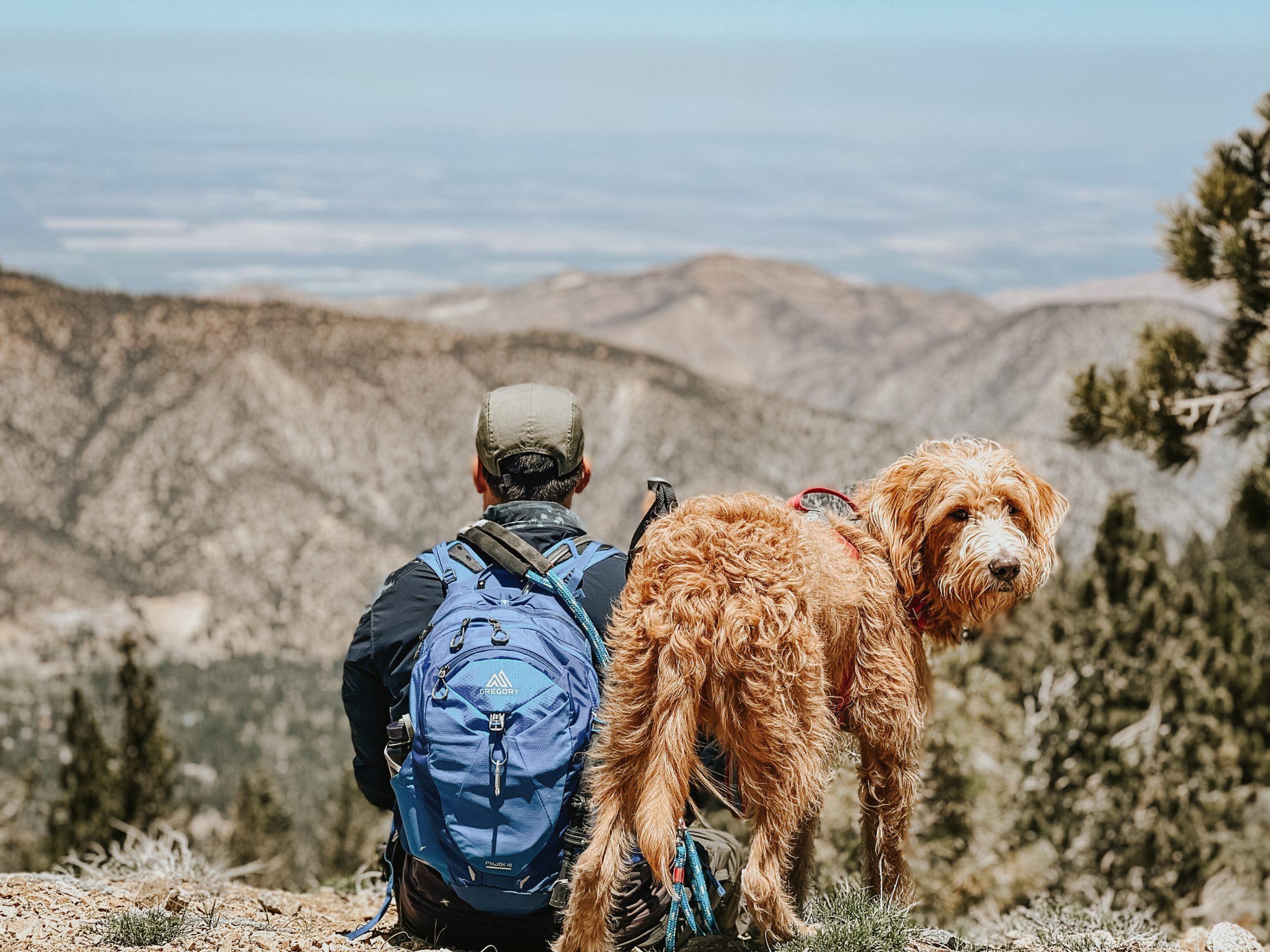
Jon stands on Red Rocks with Chase and Rado.

Red Rock Canyon National Conservation Area

Just a 40 minute drive from the heart of the strip, Red Rock Canyon is known for sandstone peaks and panoramic viewing spots along the 13-mile scenic drive. There are plenty of photo-ops, and a handful of dog-friendly trails throughout the park.

There is a fee to visit the park, and a reservation is required between October and May. Reservations can be made online with a $2 service fee. National Park Passes are accepted online and need to be shown the gate.

Temperatures in Red Rock reaches the 100s F in the summer months. It’s best to visit November – April.

Mt. Charleston

Looking for fall foliage, snow, or to just get away from the heat? There’s a mountain for that just 45 minutes from the heart of the strip, and is easy to enjoy at any time of year. Enjoy mountain trails and views as you explore Mt. Charleston and the quaint town within.

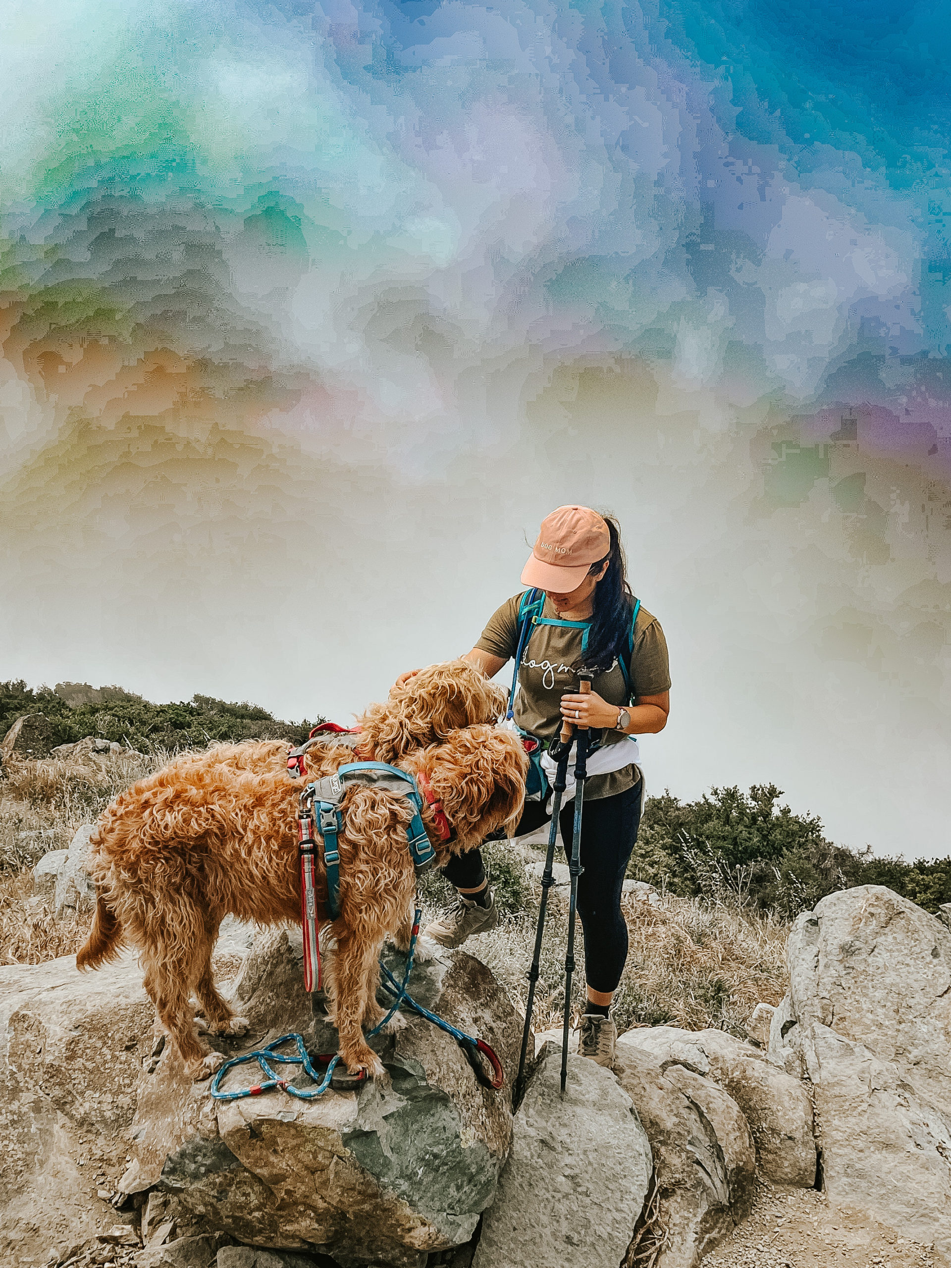
Julianna kneels down with her dogs, Chase and Rado. They're on a trail with views of Mt. Charleston covered in snow in the background.
Chase, a tan and white labradoodle, stands in frame of the Greetings from Valley of Fire State Park sign. Behind him are red rocks and hills.

Valley of Fire State Park

Known as a geological wonderland, the Valley of Fire State Park is 2000 year old petroglyphs carved into red sandstone formations, is home to natural arches, and is over approximately 46,000 acres. Just a 45 minute drive from the strip, there are a number of dog-friendly trails to explore while you enjoy the rich history that lives within the park.

Be sure to plan your trip accordingly, though. Valley of Fire State Park reaches the 100s F in the summer. If you can avoid the summer heat, it’s best to visit in the cooler months of the year.

Want more dog-friendly travel tips? Like, comment, and follow @thisdoodchase on social channels for more day-to-day tips and itineraries. See you on the trails!

Trail Log: Santiago Peak via Maple Springs

Santiago Peak via Maple Springs is a moderate, dog-friendly, 7.5-9.5 mile out-and-back trail with approximately 1,650 feet of climbing.

Chase and Rado hike with Jon and Cody along the OHV road.

Santiago Peak is the highest point in Orange County and Santa Ana mountains at 5,689 feet. Typically hikers will approach this peak via the scenic Holy Jim Trail, but due to recent fires and trail closures (as I write this in May 2022), many are taking alternate routes like Maple Springs and Joplin.

Here is the general route we took as posted on AllTrails.

Some might choose to turn this hike into a 2-peak challenge, bagging Santiago and Madjeska Peak as they make their way along Saddleback Mountain. We followed a portion of the trail towards Madjeska to avoid portions of the OHV trail on the way up to Santiago Peak, but did not end up taking the turn up to Madjeska this time.

The views, the trail being dog-friendly, and the challenge (also included in the SoCal Six Pack of Peaks Challenge) make this hike popular. Make sure to go early to beat the crowd, especially the vehicle traffic.

Ready to go?

Be prepared with the essentails

  • Wear sunscreen, sunglasses and a hat. There are long sections of the trail that’re exposed, and you’ll likely spend some time in the sun at the peak.
  • Carry plenty of water. We recommend at least 2L per person, and more if you’re taking a longer route and/or your dog.
  • Bring snacks to keep you and any company fueled.
  • Don’t forget the first aid kit.

Not sure what to pack? Check out our full list of hiking with your dog essentials and shop our favorites.

Getting to the trail and parking

The drive up to the trailhead is scenic and fun. You’ll take Santiago Canyon Road to Silverado Canyon Road until you hit the Maple Springs Trailhead entrance. At this point the road will narrow and it will soon turn into a dirt road. We recommend taking a high clearance vehicle, preferably something with 4×4 capabilities or all wheel drive. You’ll follow the road up to four corners, where a handful of OHV trails meet. A lot of people stop here for the views and small obstacle walls.

Adventure passes are required for parking. We parked along the gate to the entrance of the OHV road that heads up Santiago Peak and displayed our National Park Pass.

Hiking Santiago Peak

The trail begins at four corners. We found there are a couple options to hike up to Santiago Peak from here. You can follow the wide OHV trail all the way up, which ends up being about 9.5 miles. We decided to follow the trail that heads up to Madjeska Peak and cuts through a portion of the mountain. This small trailhead starts about 0.1-0.2 mile in from the gate and it’s easy to miss if you’re not looking for it.

Chase and Rado hike through a covered trail with Jon.

We liked this trail because it was more hiker friendly than the OHV trail, which can get pretty busy with 4×4 vehicles, motorcycles, and cyclists. While there are some portions of the trail that are overgrown and narrow, the benefits are that it offers shade while still being fairly easy to follow.

When you reach the fire road, you can either turn left and make the trek up to Madjeska Peak, turn right and follow it back to the main OHV road, or go straight and continue down the other side of Madjeska towards Santiago Peak. We accidentally missed the small trail that was straight ahead and ended up making a right and taking the fire road back down to the main road; which might actually be easier on the knees in comparison to the downhill on the smaller trail.

Scenic photo of the rolling canyons and mountains around Saddleback Mountain.

When you meet the main OHV road you’ll turn left to continue on up towards Santiago Peak. Again you can either follow the road all the way up or you can turn left on to the hiking trail that is a little more of a straight shot up to the peak. We took the hiking trail. I believe it’s a little steeper than the main road, but there is less motor traffic and more shade.

When you pop back out from the hiking trail to the main road, you’ll head up to the right towards the big signal towers. You’re getting close to Santiago Peak.

The summit can be a little tricky because there are a lot of roads and towers. As you approach the towers, stay right and head towards the taller towers. Just as you pass the main tower, you’ll see a small trail that leads up to the highest point. There used to be a summit register and summit signs, but they were missing when got there.

This summit feels anticlimactic because of the towers and all the motor traffic, but it’s still a fun one to at least check off the bucket list! Unfortunately for us there was a ton of cloud coverage that blocked our views, which means we may need to make another trip.

Let us know if you attempt this hike and how it goes, and contact us if there are any updates we should share in this log!

Happy Hiking!

A title image that reads "Trail Log: hiking santiago peak via maple springs" on top of an image with a woman standing on Santiago Peak with her two dogs.

Trail Log: Hiking Mount Pinos to Sawmill Mountain

Sawmill Mountain via Mount Pinos is a moderate, dog-friendly, 7.5 mile out-and-back trail with approximately 1,550 feet of climbing.

Jon walks along the trail with Chase and Rado

This two-peak hike is popular because it bags Mount Pinos, the highest point in Ventura County, and then Sawmill Mountain, the highest point in Kern County. While there are sections of the trail that can be challenging, it definitely doable for most by going slow and taking breaks, which is easy to do with the views along the way. It’s also one of the summit options on the SoCal Six Pack of Peaks Challenge and is dog-friendly. All of this means you’ll likely run into other people and dogs along the trail.

Ready to go?

Be prepared with the essentials

  • Wear sunscreen, sunglasses and a hat. Even though a good chunk of the trail is shaded, you’ll still spend some time in the sun at the peaks; especially if you like to stay to enjoy the view for a while like we do.
  • Carry plenty of water. We recommend at least 2L per person, and more if you’re bringing your dog.
  • Bring snacks to keep you (and your dog) fueled.
  • Don’t forget the first aid kit.

Not sure what to pack? Check out our full list of essentials and shop our favorites.

Getting to the trail and parking

The drive up to the trailhead is beautiful. You’ll park at the Nordic Base parking lot, which is very large and typically has plenty of space available. A Forest Adventure Pass is needed to park here. We displayed our National Parks pass. Sometimes there are porta-potties here, but if not, there are vault toilets available at Chula Vista Campground. When you’re ready to get started, the trailhead is off to the left hand side when you enter the parking lot.

We used the directions to the trailhead on AllTrails (note: we only did a portion of this hike; AllTrails doesn’t seem to have a trail option that only hits Mount Pinos and Sawmill Mountain).

Hiking to Mount Pinos

Julianna, Chase and Rado sit on top of Mount Pinos.

The trail begins at the parking lot as a wide fire road. At one point we saw a couple of dirt bikes come through, but otherwise it was quiet and there were no other motor vehicles. You’ll follow the main trail past a gate. At the first fork in the trail, turn left. You’ll gradually climb a windy dirt road covered in shade from the pine trees.

When you come out of the pines, continue left along the wide trail up towards the meadow. When you reach the meadow you’ll start to see the Mount Pinos radio towers. There are two ways up to Mount Pinos from the meadow. We took the smaller trail to the right for sweeping views of the mountains on our way up (then took the other way down later). This detour is a little longer than the main road up, but the views are much nicer.

Follow the trail up to Mount Pinos (and the radio towers). Stop here for a quick break, enjoy the views, and take your summit selfie. Mount Pinos is the highest peak in Ventura County at 8,847 feet.

When you’re ready to continue on, follow the trail straight down to the main dirt road and continue straight to the Condor Observation Point (if you turn left, you’ll be headed back to the parking lot).

Condor Observation Point

After a few minutes you’ll walk up to the Condor Observation Point. There are some nice views here, but there are plenty more along the trail too. Continue on to the right of Condor Observation Point to follow Tumamait Trailhead towards Sawmill Mountain.

At the first junction, you can head right to a nice panoramic viewpoint, or you can continue straight along the main trail.

Hiking to Sawmill Mountain

As you head down the main trail, you’ll follow some exposed switchbacks down into the Chumash Wilderness before you’re reunited with some shade.

Eventually you’ll descend into the saddle before heading back uphill towards Sawmill Mountain. Most of the descent and climb is gradual, but there are a couple of sections where you might feel more comfortable having trekking poles.

Eventually you’ll meet another fork (lined with branches and rocks when we were there) that you’ll turn right to follow up to the peak. Follow this trail up. Soon in the distance you’ll see the the massive stone marker– you’ve made it! Sawmill Mountain is the highest peak in Kern County at 8,822 feet.

Jon stands at Sawmill Mountain with Chase and Rado.

Enjoy the views and then head back down the way you came. Remember you can skip Mount Pinos and continue down the main dirt road back to the parking lot.

Happy Hiking!

6 Dog Friendly Summer Hikes near Los Angeles

Summer doesn’t have to mean your dog stays indoors while you get to have all the fun. Here are a few of our favorite dog-friendly summer hikes near Los Angeles.

Dogs can overheat just like humans, so it’s important to take precautions when planning your summer hikes. Check out our 7 Tips for Summer Hiking With Dogs before heading out to the trail.

Ready to go? Check out some of our favorite summer hikes around Los Angeles listed below. These hikes are generally shaded, and feel rewarding with water features; but we still recommend going early to avoid the hottest times of the day and crowds around these popular trails. Dogs are allowed on all of these trails but you should keep them leashed.

Hiking with your dog for the first time? Make sure you’ve packed all the essentials.

Have additional recommendations? Leave them in the comments below!

Switzer Falls

Three humans and five dogs sit in front of a water fall.

A generally easy to moderate 3.6 miles out-and-back hike with approximately 695 feet of elevation gain. Most of the trail is shaded, with only about half a mile exposed in a rocky section.

Be sure to park in the lower lot (follow the directions/signs down to the campground), otherwise you’ll have quite the trek back up to your car. An adventure pass is required to park so be sure to purchase one before you go. We used our annual National Parks Pass.

View more information about Switzer Falls on AllTrails.

Eaton Canyon Falls

Julianna, Jon, Chase and Rado stand in front of Eaton Canyon WaterFall.

There are a few trail options to get to Eaton Falls that range from 1.9-4.4 miles out-and-back. We usually take the 4.4 mile hike to enjoy a longer hike with multiple water crossings.

This is generally an easy hike, but do be careful at the water crossings. Rocks and logs can be slippery. If you do fall in, the water is usually only about ankle deep.

It’s easy to find parking at this park. The park offers a main parking lot with additional overflow parking in a dirt lot. There are plenty of signs to help guide you to additional parking. No parking passes were required during our visits.

View more information about Eaton Canyon Trial on AllTrails.

Millard Canyon Falls

four dogs and their three humans sit in front of Millard Falls.

A relaxing and easy 2.5 mile out-and-back hike. There are two ways to access the trail to Millard Canyon Falls.

You can park near and start at the point shown in the AllTrails link below, or you can drive to the lower Millard Canyon Campground parking lot and start from there for a shorter version of the hike.

Shortly after you pass the campsites you’ll meet a 4.5-5 foot tall wall that you’ll need to climb to access the trail. There are some rocks that act as steps, but might require a little jump up for you and your dog. This is the hardest obstacle you’ll encounter.

There is nice shade throughout the trail, and a few shallow river crossings. Rocks and logs are placed to help you at these crossings.

View more information about Millard Canyon Falls on AllTrails.

Gabrielino Trail: Jet Propulsion Laboratory to the USFS Dam

Julianna, Chase and Rado stand in front of the Dam.

This is a longer trail that totals about 9.3 miles out-and-back, but is otherwise pretty easy terrain with about 954 feet of elevation gain that is very gradual along the way.

The first half of the trail is wide and much more trafficked. You might even run into some horses.

Once you pass Gould Mesa Campground the trail begins to narrow and you’ll see people less frequently. There are a few water crossings after the campground, most of which have a path laid out by rocks or logs, before you’re met with the sounds and view of the Dam.

View more information on the Gabrielino Trail to USFS Dam on AllTrails.

Escondido Fall

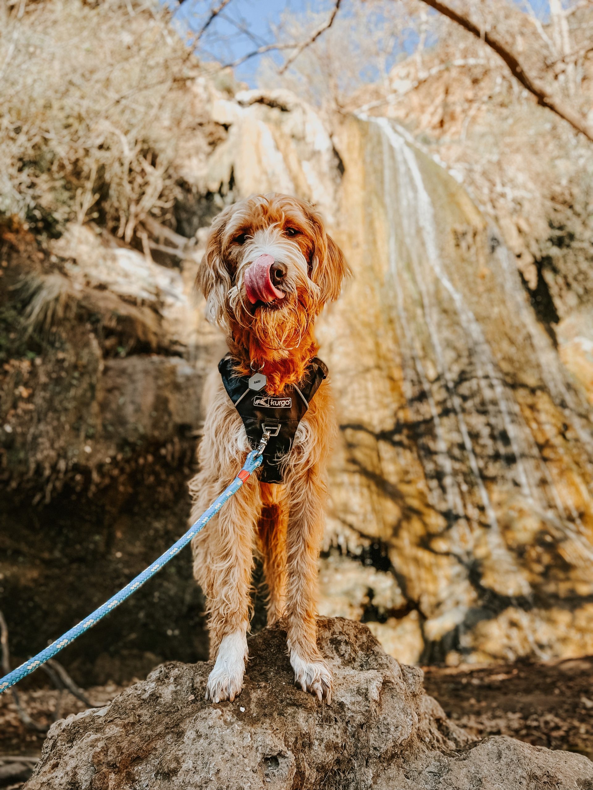
Rado stands with his tongue out in front of Escondido Waterfall.

Escondido Falls is an easy 3.7 mile out-and-back trail near the beach. There isn’t much elevation gain throughout the hike, but there is one section at the start of the trail that might be a little steep for some.

There is a very small parking lot that requires a parking pass just off of PCH. This lot fills up fast, and many will opt to park across the street along the Pacific Coast Highway. Since the start of the trail is in a residential area, you’ll need to walk up through the neighborhood from the parking lot to access this trail.

The walk from the parking lot to trailhead is exposed along a road. Once you make it to the trailhead, most of the trail is covered. You’ll follow the trail, cross two small water features, before making it to Escondido Falls.

View more information on Escondido Falls on AllTrails.

Paradise Falls

Paradise Falls is located in Wildwood Regional Park in Thousand Oaks, California. There are a number of trails you can access in this park, and many of them connect to Paradise Falls. Generally speaking you can follow the trail for a 2.1 out-and-back hike to the waterfall, or you can turn it into a 3-4 mile loop by connecting it to a few other trails.

There are some picnic tables near the Falls should you choose to bring a snack to eat while you stop and enjoy the sights and sounds of the waterfall.

View more information on Paradise Falls on AllTrails.

Happy Adventuring!

Trail Log: Strawberry Peak via Redbox Canyon

Strawberry Peak via Redbox Canyon is a moderate, dog-friendly, 7.2 mile out-and-back trail with approximately 1,720 feet of climbing.

Strawberry Peak is a popular trail because it is the highest summit in the front rage of the San Gabriel Mountains, offers a ton of great views, and is a good challenge. For some, it is also one to check off the fun SoCal Six Pack of Peaks Challenge. Bonus? It’s dog friendly! With all that in mind, it’s likely you’ll run into other people and dogs on the trail.

Sound like something you want to do?

Be prepared with these essentials

  • Wear sunscreen, sunglasses and a hat (most of the trail is exposed)
  • Carry plenty of water, at least 3L per person is recommended. Note: there are no water sources on this trail. If you’re bringing your dog, make sure you bring additional water and a water dish.
  • Bring snacks to keep you fueled. We packed a few bananas, power bars, and strawberries (duh!) for the peak. We shared some bananas and strawberries with our dogs, and also packed them some high protein treats.
  • Consider bringing a cooling vest for your dog. There is little to no shade on the trail and depending on the time of year, it can get pretty hot on the trail.
  • Always pack a First Aid Kit. Don’t have a first aid kit? Our favorite is Kurgo’s Dog First Aid Kit. It’s lightweight and easy to throw in your pack.

Shop and save on our favorite adventure gear here.

Getting to the trail and parking

We followed the directions on AllTrails. Parking is available with a permit across the street from the trailhead at the Redbox Picnic Area. Our National Park Pass was an acceptable parking permit. Arrive early so you’re not hunting for parking. Once you park you’ll see the trailhead across the highway marked with a brown trail marker that reads “Strawberry Pk.” Cross the highway carefully to start your hike.

Hiking Strawberry Peak

The trail begins parallel to Angeles Crest Highway with a very gradual incline for the first couple of miles. Don’t worry, you won’t have views of the highway or power lines very long. About a mile in you’ll hit the first saddle. You’ll ignore the two wider trails to your left and right. Instead, you’ll continue on straight and take a slight left onto the narrow trail. At the time of writing this there is a small trail marker held up by a few rocks that point you towards the narrow trail to Strawberry Peak.

You’ll spend the next 1-1.5 mile hiking along a ridge with beautiful views of the canyon to the west, before meeting the next saddle at the 2.5 mile mark. This is a good spot to take a quick breather, eat a light snack and drink some water before the tougher part of the hike.

You’ll continue on to the smaller trail that leads up hill. This is where the climbing gets harder and the trail is completely exposed. You’ll work your way through sandy, rocky and narrow paths as you pass three false peaks before your final climb. I recommend using trekking poles in this section if you have them, but they aren’t required. Either way, just make sure to take your time.

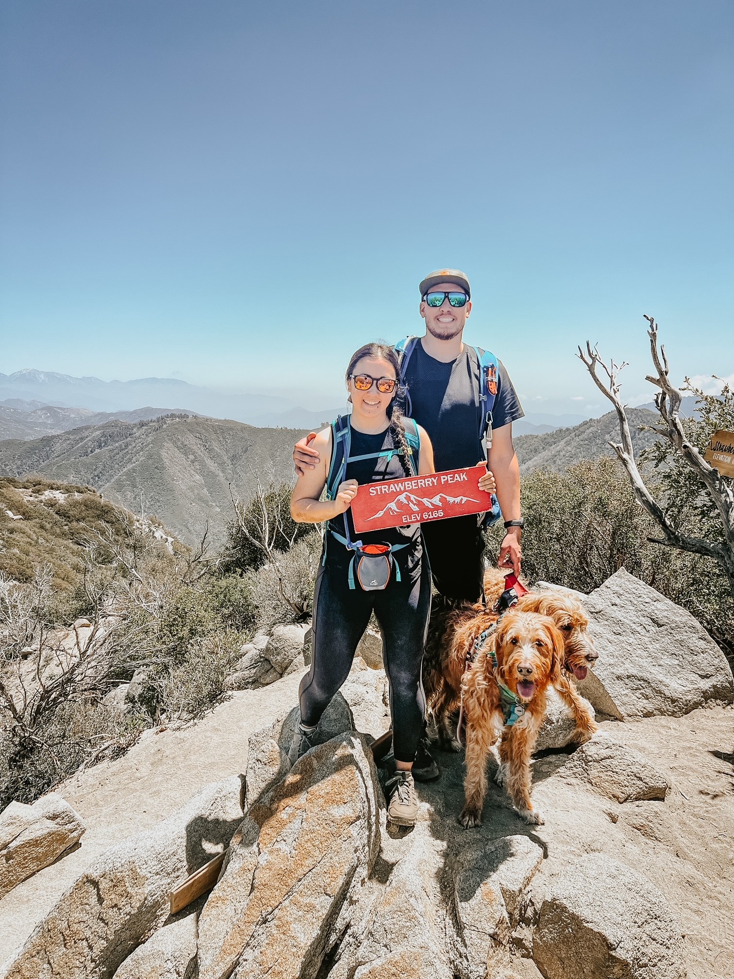
You can’t miss Strawberry Peak. There are a number of Strawberry Peak signs available for summit photos. Eat your obligatory summit strawberries, take some selfies, and enjoy the views before heading back down the way you came.

Check out our hike to Strawberry Peak in May 2022:

Happy Hiking!